The eBee is a Drone developed by AgEagle (United States), launched 2012, priced at $20,000 USD. Key specifications: airframe drone agri, flight time 0.92 h, top speed 30 m/s, takeoff weight 6 kg.
Robo Index
Very strong evidence
5 of 10 signals present
Recomputed nightly from public data. Missing data is skipped, never zero-filled — and rankings are never for sale.
Weighted factors
average of the 5 scored · blanks don't count
Will it fit your job?
Tell us the job in plain words — we'll show how this robot measures up, line by line.
Tell us what your job needs — payload, budget, region, must-have certifications — and we'll show how eBee measures up, requirement by requirement. The Robo Index (trust) above is shown for every buyer, regardless.
Overview
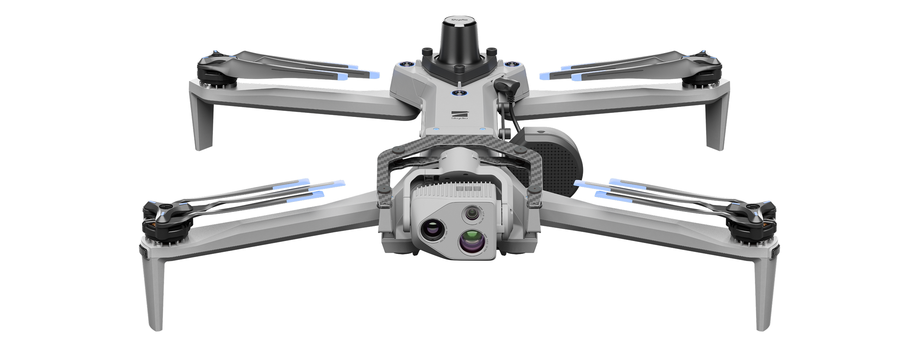
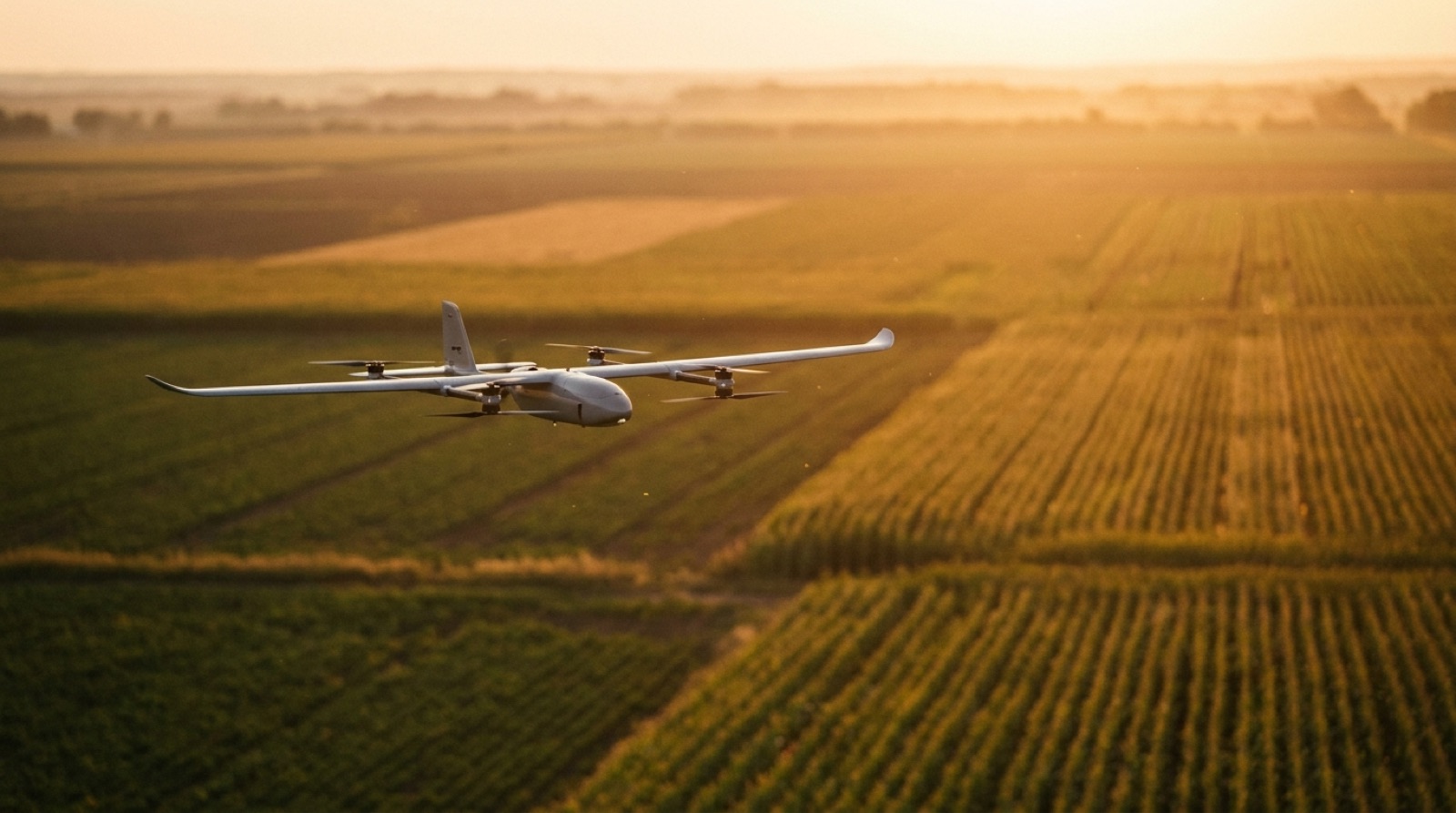
eBee is an ultralight fixed-wing drone designed for aerial imaging, mapping, and inspections. It is fully autonomous and can plan, fly, capture images, and return automatically. The drone fits inside a carry-on-sized suitcase and can fly faster and with more precision than its predecessors. It has been used around the world for surveying and mapping applications.
Flagship features
- Fixed-wing design for long-endurance agricultural mapping
- Duet M dual-purpose RGB + 4-band multispectral camera for NDRE, NDVI, and DSM generation
- Optional RTK module enables absolute accuracy down to 2.5 cm (1 in)
- eMotion flight management software for efficient crop scouting
- Lightweight takeoff weight (6 kg) enables BVLOS flights and operations over people in many jurisdictions
Buyer decision signals
Deployments
French Army
Viability
First eBee VISION deliveries to French Army
Price
Specifications
Category: Drone- Airframe
- drone agri
- Flight time
- 0.92 h
- Top speed
- 30 m/s
- Takeoff weight
- 6 kg
- GPS accuracy
- 2.5 cm
- SDK / API
- Yes
- Pricing model
- purchase
- Price tier
- 40-80K
Company profile
- Founded
- 2010
Detailed specifications
Other7
- Terrain Type
- flat,hilly
- Company Country
- US
- Crops Supported
- generic_field_crops
- Navigation Type
- rtk_gps
- Weather Resistant
- true
- Additional Information
- - Fixed-wing design for long-endurance agricultural mapping. - Duet M dual-purpose RGB + 4-band multispectral camera for NDRE, NDVI, and DSM generation. - Optional RTK module enables absolute accuracy down to 2.5 cm (1 in). - eMotion flight management software for efficient crop scouting. - Lightweight takeoff weight (6 kg) enables BVLOS flights and operations over people in many jurisdictions.
- Operating Area Ha Per Day
- 160
Who runs it· deployment evidence
1 on record · none maker-verified yet. Each links to its source — open it and judge.
- French Army· France20 unitssource ↗
Where to buy
Get a price or reach an authorized seller — pick your region, then request a quote.
No authorized seller is listed for this robot yet — request a quote below and we’ll connect you with AgEagle or an authorized seller.
Request a quote — goes straight to AgEagle.
Every authorized seller serving your region is shown equally — placement is never sold, and this data never affects a robot’s score. A seller’s absence here doesn’t mean they aren’t authorized.
Company milestones
- Aug 2024DeploymentFirst eBee VISION deliveries to French Army
- Jul 2023MilestoneeBee VISION global market introduction update
Frequently asked questions
- Who makes the eBee?
- The eBee is developed by AgEagle, based in United States.
- What type of robot is the eBee?
- The eBee is a Drone made by AgEagle.
- How much does the eBee cost?
- The eBee is priced $20,000 USD.
- When was the eBee launched?
- The eBee was launched in 2012.
- What are the key specifications of the eBee?
- Key specifications of the eBee: airframe drone agri, flight time 0.92 h, top speed 30 m/s, takeoff weight 6 kg, gps accuracy 2.5 cm.
Reviews for eBee
Loading reviews…