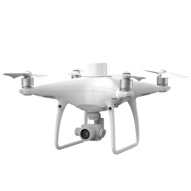
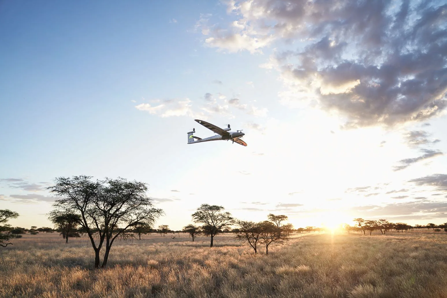
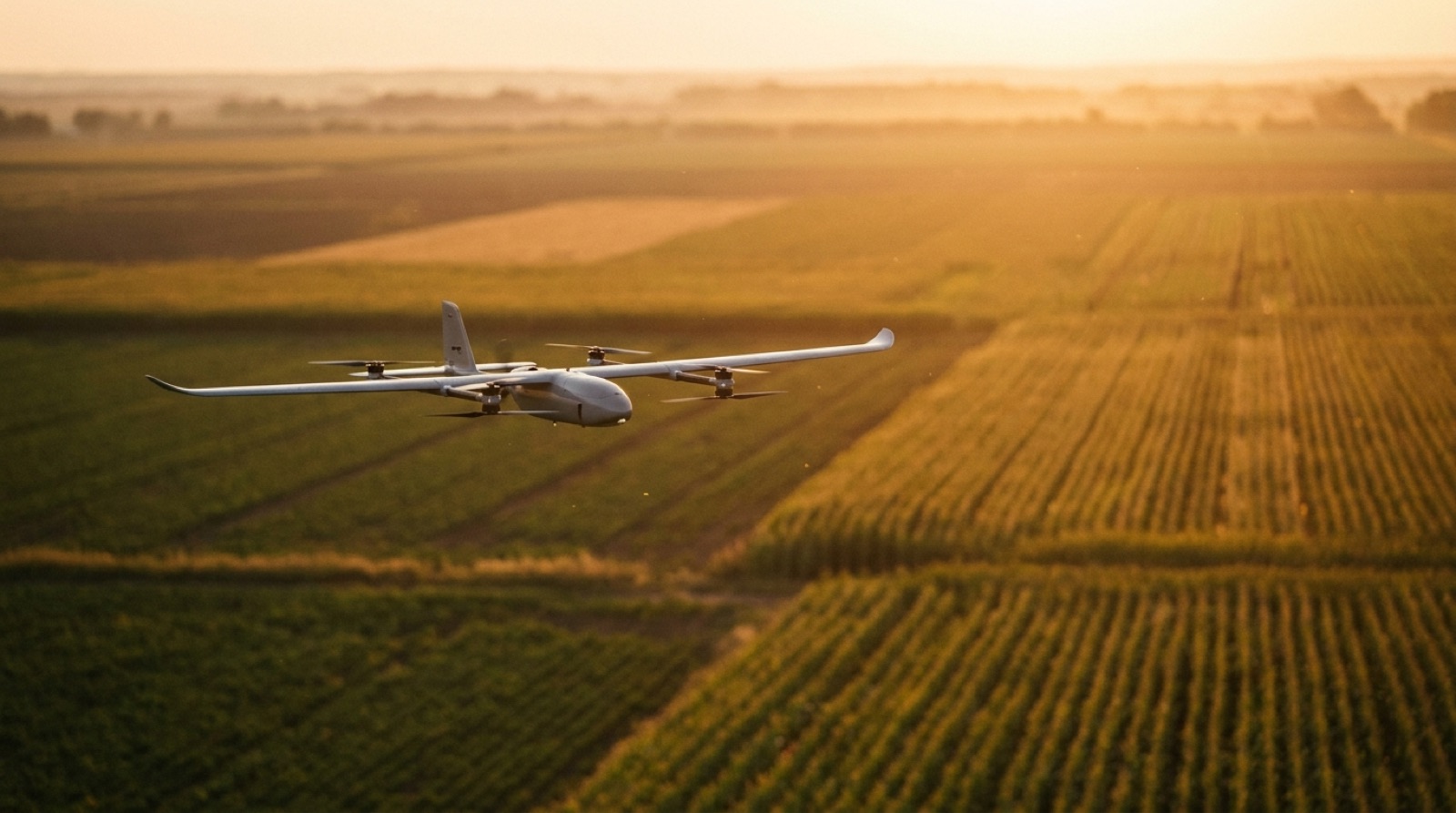
The WingtraGROUND is a Drone developed by Wingtra (Switzerland), launched 2025. Key specifications: airframe gnss base station, flight time 22 h, range 10 km, thermal camera No.
RoboScore
Adequate evidence
No confirmed deployment on record — this score reflects the rest of the record, not verified adoption.
4 of 9 signals present
Recomputed nightly from public data. Missing data is skipped, never zero-filled — and rankings are never for sale.
Weighted factors
average of the 4 scored · blanks don't count
Ranked in the Drone standing, against 50 robots.
See the standingWill it fit your job?
Tell us the job in plain words — we'll show how this robot measures up, line by line.
Tell us what your job needs — payload, budget, region, must-have certifications — and we'll show how WingtraGROUND measures up, requirement by requirement. The RoboScore (trust) above is shown for every buyer, regardless.
Overview
WingtraGROUND is a portable all-in-one GNSS base station kit designed to simplify drone mapping workflows. It includes integrated GNSS receivers, compact tripods, ground control points, and checkpoints, enabling surveyors to collect high-accuracy survey data without specialized expertise. The system integrates seamlessly with Wingtra drones and software, providing 3 cm (0.1 ft) accuracy with automatic data syncing and step-by-step guided setup. It reduces setup time by 4x compared to traditional surveying equipment and eliminates manual configuration steps.
At a glance
- Built for mapping and inspection
- Used across surveying, construction and geomatics
- Certified to NDAA compliant
Buyer decision signals
Viability
Expanded North America distribution
Specifications
Category: Drone- Airframe
- gnss base station
- Flight time
- 22 h
- Range
- 10 km
- Thermal camera
- No
- LiDAR
- No
- GPS accuracy
- 3 cm
- Operating temp
- -20 to +65°C
- Pricing model
- purchase
Company profile
- Confirmed funding
- US$10.1M· 1 round
- Founded
- 2016
Detailed specifications
Sensing & perception9
- Lidar Type
- 3d
- Gps Present
- Yes
- Imu Present
- Yes
- Lidar Count
- 1
- Camera Count
- 4
- Camera Types
- rgb
- Sensor Suite
- RGB Camera,LiDAR,Multispectral Sensor,IMU
- Lidar Present
- Yes
- Camera Present
- Yes
Controls & integration1
- Connectivity Options
- wifi,cellular 4g
Other details12
- Outdoor Capable
- Yes
- Receiver Size Mm
- 126 x 126 x 142
- Receiver Channels
- 184
- Internal Storage Gb
- 16
- Gnss Signals Tracked
- GPS L1C/A L2C, GLONASS L1OF L2OF, BeiDou B1I B2I, Galileo E1B/C E5b, QZSS L1C/A L2C
- Vertical Accuracy Mm
- 10mm+1ppm
- Receiver Weight Grams
- 950
- Horizontal Accuracy Mm
- 5mm+0.5ppm
- Hot Swap Battery Supported
- Yes
- Max Distance To Base Meters
- 10000
- Base Logging Max Duration Hours
- 22
- Checkpoint Logging Duration Seconds
- 30
Who runs it· deployment evidence
No deployment evidence on file
A deployment is recorded when a public source names the customer, or the maker confirms it. Nothing here counts against this robot.
1 other robot in this category has one.
Add a deployment →Where to buy
Get a price or reach an authorized seller — pick your region, then request a quote.
No authorized seller is listed for this robot yet — request a quote below and we’ll connect you with Wingtra or an authorized seller.
Request a quote — goes straight to Wingtra.
Every authorized seller serving your region is shown equally — placement is never sold, and this data never affects a robot’s score. A seller’s absence here doesn’t mean they aren’t authorized.
Company milestones
- 2024MilestoneExpanded North America distribution
- 2022Milestone1,000 drones sold globally
- 2021LaunchWingtraOne GEN II introduced
- 2019MilestoneNorth America expansion
- 2018FundingSeries A funding secured
- 2017LaunchWingtraOne launched
- 2016MilestoneCompany founded
- —LaunchAnnouncement of WingtraOne GEN II
Compare with peers
More by Wingtra
Frequently asked questions
- Who makes the WingtraGROUND?
- The WingtraGROUND is developed by Wingtra, based in Switzerland.
- What type of robot is the WingtraGROUND?
- The WingtraGROUND is a Drone made by Wingtra.
- How much does the WingtraGROUND cost?
- Pricing for the WingtraGROUND is not publicly listed — contact Wingtra for a quote.
- When was the WingtraGROUND launched?
- The WingtraGROUND was launched in 2025.
- What are the key specifications of the WingtraGROUND?
- Key specifications of the WingtraGROUND: airframe gnss base station, flight time 22 h, range 10 km, thermal camera No, lidar No.
Reviews for WingtraGROUND
Loading reviews…